Trans the Kei & Over the Uzumvubu: Pt. I
- Rogan Kerr
- Oct 10, 2016
- 4 min read
I've had this story on the back burner for a while. It's been a few years, but it is still the best road trip I've ever had. I'm going to split it into two sections because there's too much to squeeze into one post.
It started as all good road-trips should: early in the morning and with Audioslave’s “Show Me How
To Live” cranked up loud enough to scare the sleep right out of us. There were great things to be done and we were ready to cross provincial borders at a rate of knots. We blasted out of Cape Town’s Southern Suburbs like a cat out of a well. By sun-up, we had summited Sir Lowry’s Pass and were truly on our way to the trip every good-meaning South African deserves: the Wild Coast.

2000km. It's a humdinger for sure.
Road travel is the best way to get around. It’s a well-rehearsed statement of mine and is especially true when you’ve got an entire country to cross. This was our mission: to reach KZN for Christmas. Luckily we had two weeks to kill and were about to spend them exploring the planet’s (arguably) most gorgeous coastline.
But we had many kilometres to burn. Our first stop of the morning was just post sun-up, in Hermanus. We pulled over to stretch our legs and see the sights, which included some guns and a fiberglass whale. It was an overcast morning and pre-7AM – but Salty was already wearing a hat.

F*** da police. This act of rebellion was probably inspired by three consecutive Rage Against The Machine albums.
We decided to hold off on breakfast until we’d reached Cape Agulhas, so we didn’t stick around. Some ways after our stopover, we decided to take what seemed like a shortcut (according to the GPS anyway). It took us through endless fields of miscellaneous crops that Blue Cranes picked at nonchalantly. Birds of prey watched on from the stick fences and still, the GPS led us ever-forward. We followed it blindly down an “unnamed” dirt road that stretched on and on – the device suggested we’d be turning at some point in the future. That was our only hint that it was indeed taking us somewhere.

Boer in mist. Thank Heavens for my GPS that got us out of it.
A white sign appeared ahead. We’d apparently reached a settlement of sorts: Elim. Except that there was nothing here. Photos were taken in case we were never seen alive again.

Salty finds his way into all the pictures.
We drove on another 30 minutes and eventually the thatch tops of some white-washed cottages appeared on the horizon, and a tarred road came into view. This was Elim. SOMETHING ABOUT ELIM HERE. Folks gazed on at us, with a mixture of interest and apathy. The town reminded me of something from a Reza De Wet play: simultaneously charming and sinister (although the latter was probably due to the weather).

The town that time forgot...
A little while later we found ourselves at the Southermost point of the continent: Cape Agulhas. We had a LOL at the Nostra “Pube Grill” (a tragic case of poorly conceptualized typeface), admired the lighthouse and strolled the boardwalk with our Bunsen burner to enjoy some freshly-brewed coffee on the tip of Africa.

Ah. The grand sights of L'Agulhas.

Group shots were few and far between, so this one gets its own caption.
We enjoyed the beach in the cool morning air for a while and took some time to experience the peace and quiet and took in the misty views. The European sailors who named this rocky headland first rounded it in the early 1400's. It must have blown their minds to realise they had "found" the end of Africa (the area had been occupied by San and Khoekhoen people for centuries before).
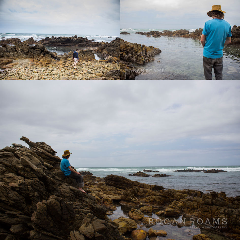
Steve explored the rock pools while Salty relieved himself in them.
I found a seagull roosting on some rocks who was less than happy to see me. It bombed me until I moved off, but not before getting a snap of it diving me from above.
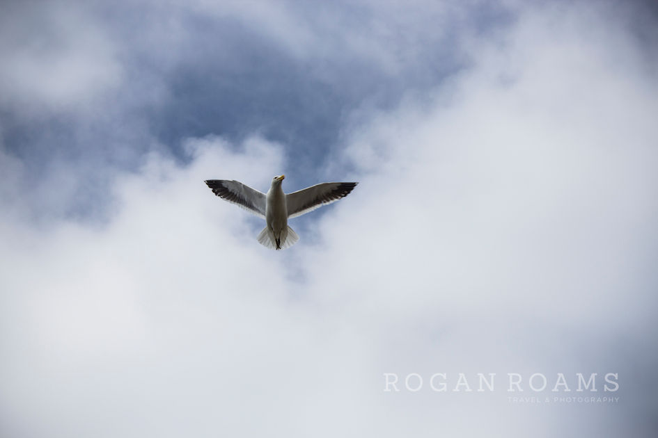
Warplane. Warrior.
After a while, we headed back up to the car, where a vehicle of mass proportions was pulling in. An epic Unimog parked next to my Peugeot, putting its silvery greatness to shame. We were busy admiring it when two gents hopped out and explained they’d travelled here all the way from Cairo in this beast of a machine. They were gone for maybe two minutes to look at the point (Steve stole the opportunity to pose with it) before hopping back in their car, saying they were heading home and disappearing up the road.

Steve of the Southern Tip.
We’d done a fair amount of dawdling that morning and still had a while to go before reaching our first place of rest. We only stopped once more at Stilbaai, where we hoped to see the giant stingrays, but were met instead by the idyllic sights and sounds of these colourful, rocking fishing boats. Not that we were complaining. Stilbaai is known as 'The Bay of Sleeping Beauty'. I'm not 100% sure of the origins of this name, but I'm guessing it's because it's beautiful and everybody there is sleeping.

Home of the crusty crab-catcher.
We hoofed it through the Garden Route until we reached the city of George. Here was our first nap-over: at Vic Bay. It was late afternoon by the time we’d arrived, so we set up our tents in the camping area and headed down to the beach. After a swim we found ourselves a cozy spot on the rocks where we tentatively nursed a couple of cold beers and watched the surfers ride the waves along the rocky shore. It was a great feeling to have accomplished the first leg of our trip, but the most exciting part was that the adventure had hardly even begun.

The views speak for themselves.
I’d like to tell you we had an early night and slept soundly like good travellers should. Unfortunately the beers kept flowing and at 8AM, we stumbled out of our tents and rolled eastwards to meet the second half of our crew in the jolly little hamlet of Grahamstown.
To Be Continued….


Comments